
-

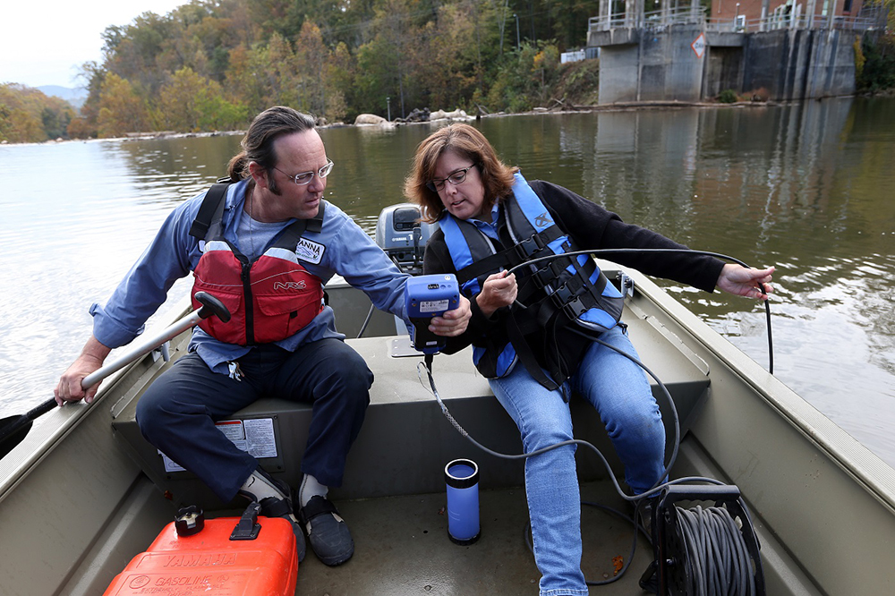
Konrad and Andrea water sampling at South Rivanna River Photo/Andrew Shurtleff
Renewable Energy
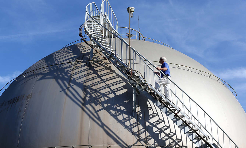
Tim Climbing the Methane Tank Photo/Andrew Shurtleff
Part of the anaerobic digestion of biosolids from our wastewater creates renewable energy for us on site in the form of methane gas. On average, Rivanna produces 32,725,000 cu ft of methane each year that is captured for use at our Moores Creek Water Resource Recovery facility. This amounts to a little over 1.1 million kWh of energy each year which would power almost 80 homes a year! A cogenerator burns the gas and produces electrical power that can be distributed within the facility’s internal grid, thereby reducing the amount of external energy that we are required to purchase to run our operations.
Compost
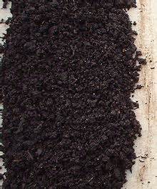
Compost
Rivanna Water and Sewer Authority recycles 100% of our generated biosolids back to the environment in the form of compost. Organic material in wastewater that is removed from primary and secondary treatment processes is called “biosolids.” This nutrient-rich organic matter is digested on RWSA’s site and then is converted into compost at the McGill Environmental Systems facility in Waverly, Virginia. McGill brings it up to state and federal safety standards so that the compost can then be of beneficial use for things like promoting vegetative plant life to complete its life cycle. We compost about 12,500 tons of biosolids annually.
Rivanna Solid Waste Authority has a food waste composting program at McIntire Recycling Center and at the Ivy Material Utilization Center. The food waste from the McIntire Recycling Center is collected by Natural Organic Process Enterprise (N.O.P.E.), who brings the organic material to their partner facility, McGill Environmental in Waveryly, VA for composting. The food waste from the Ivy Material Utilization Center is collected by a company called Black Bear Composting. They turn the collected food waste material into compost at their commercial composting facility in Crimora, VA (permitted by the VA DEQ).
Questions? Check out the Composting FAQ page
Why compost?
The National Resource Defense Council reports that up to 40% of the food produced in the US goes to waste. When food breaks down, methane, a potent greenhouse gas is produced. Therefore keeping food waste out of landfills is a step toward reducing methane gas. Additionally, food waste and other biodegradable waste can be “recycled” into many beneficial uses. In just six months’ time, food waste can transform into valuable compost for commercial and residential soil-amendments, top cover, soil remediation and many other beneficial uses. Compost also plays a key role in low impact development, stormwater management, and erosion control. N.O.P.E. Natural Organic Process Enterprise, a certified B corp of Richmond provides the pick-up service to Black Bear Composting, a certified commercial composting facility in Crimora, Virginia.
Water Conservation
The Role of the RWSA
Rivanna serves the community by safeguarding our most precious resource: water. This includes doing our part to take water conservation steps wherever possible in our operations.Most of our water-savings opportunities were identified in the wake of the 2002 drought.
Moores Creek alone saves over 1.5 million gallons each year by capturing this effluent and using it for a variety of non-drinking uses within the facility. This helps to preserve the existing drinking water supply and thus helps us better steward the community water supply.
In the water department…
- We maximize filter run lengths.
- We refined our sedimentation basin cleaning process.
- South Fork Reservoir Treatment Plant recycles all water used in the plant.
- Observatory Water Treatment Plant recycles water used in the plant.
In the wastewater department…
- We use recycled non-potable use water for our cooling and hot water needs.
- We wash down our tanks with recycled water.
- We lubricate our pumps and centrifuge.
- The use of effluent water reduced potable water consumption at the facility by approximately 98%. The facility went from using an average of 44,000 gpd in 2002 to 500 gpd in 2003. These conservation efforts continue as standard practice today.
In the administration building…
- We retrofitted old plumbing fixtures with low-flow plumbing fixtures to reduce the need for water.
- RWSA does not have an irrigation system in place for landscape watering.
Additional Resources
City of Charlottesville
Albemarle County
Stream Ecology
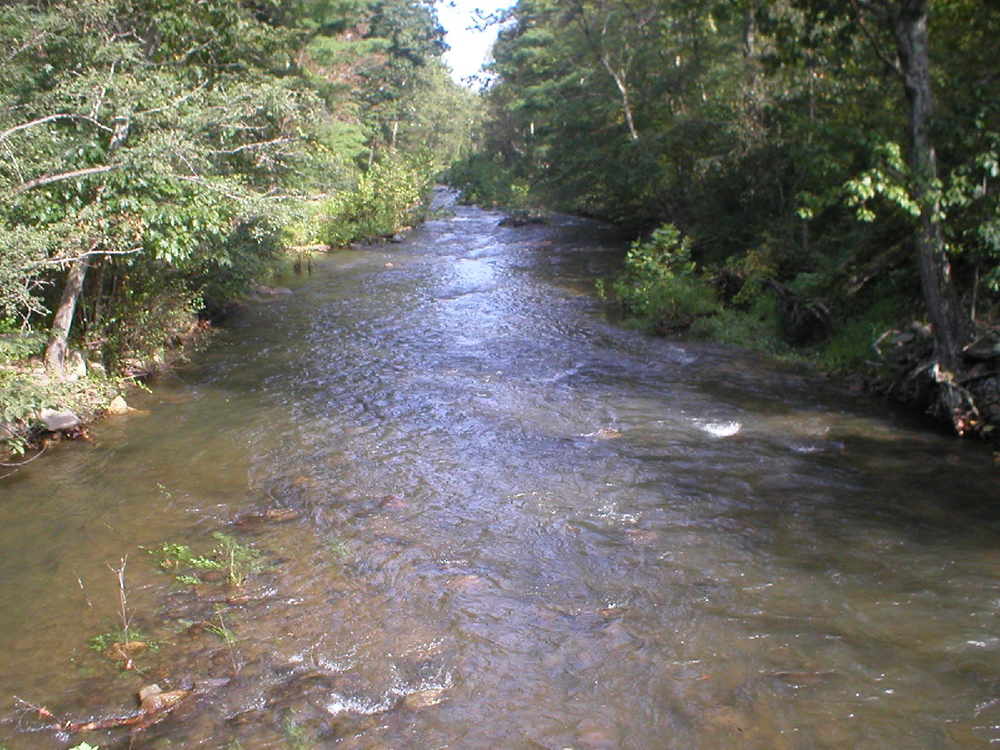
Moormans River
We care deeply about the environment on both sides of our dams: the source water or “raw surface water” on the upstream side, and the stream ecology on the downstream side We recognize that in order to serve the vital human need for water in modern society, we also must protect the natural environment.
So we worked closely with our local government leaders and environmental non-profit groups during our community water supply planning process, to develop an instream flow release plan for our system that is designed to mimic natural stream flows.
It’s important to note that reservoirs are a man-made creation with the primary purpose to serve the water needs of a community. We take special care to balance the water needs of the community with the ecology of the systems. Under natural conditions, with no manmade alterations, river flows naturally fluctuate with high flows, low flows, even periods of no flows. Our plan enables us to address in real-time where we adjust our stream releases accordingly.
The U. S. Geological Survey (USGS) maintains a stream gage on the Mechums River which is used as an indicator of natural flows throughout our system. Real-time data on stream flows can be found at http://waterdata.usgs.gov/usa/nwis/uv?02031000. These data are used in a state-of-the-art software model of our system to help manage stream flows throughout our watersheds. Additionally, we continue to monitor and, if needed, consult with the Department of Game and Inland Fisheries on the health of our reservoirs and rivers
Watershed Protection
Our Watershed
Rivanna Watershed
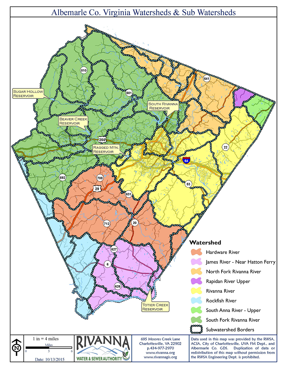
A watershed can be thought of as a bathtub. All the water located within the bathtub will eventually move toward the drain. The same process happens in a watershed: all water from higher elevations drains to the bottom of the watershed. Above is a map of our watershed here in Albemarle County showing the major rivers and the sub-watershed borders.
Water supply resources for the region include five reservoir impoundments and two river intakes. The South Fork Rivanna River Reservoir, Beaver Creek Reservoir, and Sugar Hollow Reservoir are located in the South Fork Rivanna River watershed. Ragged Mountain Reservoir is located in the Moores Creek and Rivanna River watershed. The Totier Creek Reservoir is located in the James River watershed. Intake structures are located on the North Fork Rivanna River and on Totier Creek.
These reservoirs and river intake provide the raw water that is then treated at 5 water treatment plants for potable water uses in the service area.
Cross Section of a Watershed

Cross section of a watershed (EPA.gov)
Water enters the reservoir through precipitation. Unfortunately, any contaminants that may be located on the land within the watershed, like fertilizers, may be carried through overland runoff or transported via groundwater to the reservoir. The EPA calls these nonpoint sources of pollutants.
There are many practices that can be used to minimize the input of nutrients and other pollutants to a reservoir. Did you know that planting a tree buffer on your property adjacent to a waterway provides a filter to pollutants flowing into streams? Minimizing the use of fertilizers on your property is another way that you can help reduce nonpoint source pollution.
Keeping our watershed clean
Proper stewardship of our watershed requires an all-hands-on-deck approach. Every landowner shares a role in keeping the watershed clean. Here’s what various organizations are doing and how businesses, landowners, and residents can do their part.
Reservoir Management Study Now in Progress
In 2015 Rivanna contracted with Dinatale Water Consultants of Boulder, Colorado to conduct a reservoir assessment and recommend options for managing reservoir water quality. Intensive water quality monitoring is being conducted on our reservoirs by RWSA staff to provide data for this study. Results are expected to be available Spring 2016.
Regional Organizations
The Thomas Jefferson Soil and Water Conservation District has as its current focus, to control and prevent non-point source pollution. Nonpoint source (NPS) pollution, unlike pollution from industrial and sewage treatment plants, comes from many diffuse sources. NPS pollution is caused by rainfall or snowmelt moving over and through the ground. They do this through technical assistance programs to citizens and local governments, financial assistance to landowners, and educational programs. The many programs of the TJSWCD can be reviewed on their website. http://www.tjswcd.org/
We support the work of the Rivanna Stormwater Education Partnership, which is a collaborative effort among the local entities that hold stormwater permits under the National Pollutant Discharge Elimination System (NPDES) Program like us. These permits relate to the operation of municipal storm sewer systems and require the permit holders to achieve numerous goals related to education, outreach and public participation in stormwater management. Regulatory authority for the program falls under the Virginia State Water Control Board under the oversight of the Virginia Department of Environmental Quality.
Albemarle County
In Albemarle County, there is a Water Protection Ordinance that requires that vegetated buffers be preserved or established along most County water bodies and limits the activities that can occur within those buffers. The vegetation helps to filter non-point source pollutants from entering the water body. In general, 100 foot buffers are required along streams in the County. Adjacent to a water supply reservoir the buffer requirement is 200 feet. These buffers provide a filter for stormwater runoff and minimize erosion. A full description of Albemarle County’s stream buffer requirements associated with the Water Protection Ordinance can be found by clicking this link: https://www.albemarle.org/home/showdocument?id=278 and https://www.albemarle.org/government/facilities-environmental-services/environmental-stewardship/water-resource-protection
If you have questions regarding how to minimize water quality impacts on property that you own adjacent to one of the five RWSA reservoirs, or would like to report a buffer violation, please contact the Natural Resources Manager in the Department of Community Development at 434-296-5832.
For other water-related issues or questions, Albemarle County residents can visit: https://www.albemarle.org/government/facilities-environmental-services/environmental-stewardship
City of Charlottesville
City residents can visit the City of Charlottesville’s Stormwater page.
Local Non-Profits
The Rivanna Conservation Alliance is a local non-profit dedicated to the health of our streams. RCA provides education, river clean-ups, and other river stewardship activities and scientific monitoring of our local waterways.
To report a problem in our watershed, like storm drain dumping or stream pollution, go to the Rivanna Stormwater Education Partnership or call 434-975-0224.
Groundwater Remediation and Air Quality Monitoring
One of our most important duties of the Rivanna Solid Waste Authority is to fulfill our post-closure care activities required by the state and federal government at the site of the Ivy Landfill on behalf of and with financing from the City of Charlottesville and Albemarle County.
State regulations require that landfills monitor the groundwater on their site. Based on this monitoring at the Ivy Landfill, the RSWA identified specific chemicals that had impacted groundwater quality above health standards. Although this is not uncommon at similarly-aged landfills, the RSWA has instituted several programs to reduce the level of these impacts and make sure that they do not extend off the property. These programs included the state-of-the-art technology of enhanced bioremediation through multiple substrate injections to create an ideal underground environment for biological clean-up of impacted groundwater. The program also includes ongoing groundwater monitoring, to measure the actual results of the remediation, which is expected to continue at least through the remainder of the post-closure care period or until groundwater remediation standards are met.
The program also included the completion of a gas collection piping system for all landfill cells, along with installation of new horizontal drains for two of the landfill cells, to assure that all landfill gas formed underground during the decomposition of the waste can be collected and destroyed at a central location by high temperature burning and flaring, thereby eliminating fugitive emissions that were once a source of odors. RSWA has received many compliments from neighboring property owners for eliminating odors.
History
The site was operated as a sanitary landfill from 1968 until 1998, after which construction and demolition debris was accepted until 2001. The landfill was initially owned and operated by Albemarle County, and then in the 1970s operation was transferred to the City of Charlottesville under a joint arrangement between the City and County with service to both jurisdictions. When the City and County formed the Authority in 1990, which began operation in 1991, the landfill ownership and operation was transferred to the Authority. The landfill has been closed since 2001, but because the decomposition of the waste material beneath the closed surface occurs over a much longer period of time, active management and monitoring of site conditions is essential and required by law.
When the landfill opened in 1968, very few state or federal regulations existed which governed the design and operation of landfills. Over time the need for regulations was recognized and came into effect, governing the need for leachate collection systems, daily cover, vector attraction reduction, “impervious” caps over the top of landfill cells as they are closed, gas management, and active post-closure care. As regulations matured, new activities at the Ivy Landfill complied with those standards, but older parts of the landfill were “grandfathered” as new regulations went into effect. Older facilities would not meet today’s standards if constructed and operated today. This condition is an unfortunate reality and all too common among landfills across the country that operated before newer regulations went into effect, and is a major reason why groundwater contamination has occurred at most older landfill sites.
Bioremediation and Ongoing Groundwater Monitoring
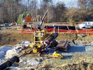
Installation of Horizontal Drains
In the late 1990s groundwater contamination was discovered at Ivy, contained within the boundary of the landfill property and beyond the footprint of the landfill cells. A remediation program was developed that began with a “pump and treat” system on the west side, replaced in 2006 by a broader site-wide enhanced bioremediation program. Enhanced Bioremediation included the injection of carefully selected substrate material into the groundwater to enhance the natural chemical reduction of the contamination to clean groundwater.
As a result of the bioremediation, the spread of contamination within the groundwater on the site has been tightly contained and reduced, protecting both the environment and human health. The injection of substrate material was suspended in July 2013 to determine if the breakdown of contaminated materials will continue without further injections. The Authority is prepared to re-initiate injections if it proves necessary. Revisions to the Corrective Action Plan were submitted to the Department of Environmental Quality (DEQ) at that time. This Plan can be reviewed by clicking on the link below:
2015 Corrective Action Plan (CAP) Revision (Due to size, this document is an excerpt of the original containing Review Comments, Table of Contents, and Executive Summary. The full version can be obtained by contacting RSWA at (434) 977-2970 x101).
Status
Monitoring of the groundwater and surface water at the site continues. Groundwater samples are collected and analyzed twice a year and results are reported. This frequency of monitoring is appropriate given that groundwater moves underground very slowly. The following most recent reports can be obtain by calling the Moores Creek Administration Office at (434) 977-2970:
- 2014 Annual Compliance Groundwater Monitoring Report (19,875kb) available upon request
- Spring 2015 Sentinel Well Monitoring Report (pdf 760kb) available upon request
Because of the wide diversity of material contained in solid waste that was once buried at the landfill, it is not unusual on occasion to discover a constituent in one or more groundwater samples that has not historically exceeded the state standard for groundwater, based on prior sampling, but suddenly exceeds the standard at low concentrations. During the period between 2004 and 2014, this has occurred with cobalt, and more recently with cadmium. When this occurs, a Nature and Extent Study is performed to determine if it is tightly contained or more widespread, and if any adverse health effect may result. In March 2014 the Authority’s report on the Nature and Extent of cadmium presence in groundwater was submitted to DEQ. Fortunately, its presence beyond groundwater standards is very limited (a small area close to Cell 3 Lined), well contained, and of no current effect to human health. Its presence will continue to be monitored. The Nature and Extent Study can be obtained by calling the Moores Creek Administration building at (434) 977-2970. Reports are not included here due to their size
Cadmium NES Final (pdf 6.0mb) available upon request
Air Quality
Air quality is also an important part of landfill post closure care, as buried waste material decomposition causes the formation of landfill gases within the waste cells below the ground surface. Gas build-up can result in pressures that escape through the ground surface. In 2006 the Authority awarded a construction contract to significantly upgrade the gas collection system for all landfill cells, providing an effective means to pull the formed gas through an underground pipe network to a flare which destroys the methane and other gas components that may cause health or nuisance problems. Following the upgrade, odor complaints decreased significantly.
The Authority monitors the air quality at the Landfill site annually in August. Recent reports have been highly favorable. The most recent report can be reviewed below, summarizing the results of the sampling in August 2015.
2015 Ambient Air Monitoring report (pdf 7mb)
The Authority remains committed to the operation and post-closure care of this facility. For more information on the active remediation at the Ivy Landfill site, please contact the Authority at info@rivanna.org or at (434) 977-2970.
Tree Planting
Sewer-Safe Tree Planting
Please be mindful when you are planting trees or shrubs in close proximity to our water line system. RWSA easement widths can vary from 20 to 50 feet. The inner 20 feet of an easement (10 feet on either side of the pipe) must remain clear; low growing groundcovers are allowed. RWSA cannot guarantee that damage will not occur within the inner 20 feet of an easement.
A complete list of sewer safe groundcover, shrubs, and trees
Rivanna’s full Right-of-Way Maintenance Policy
Buck Mountain
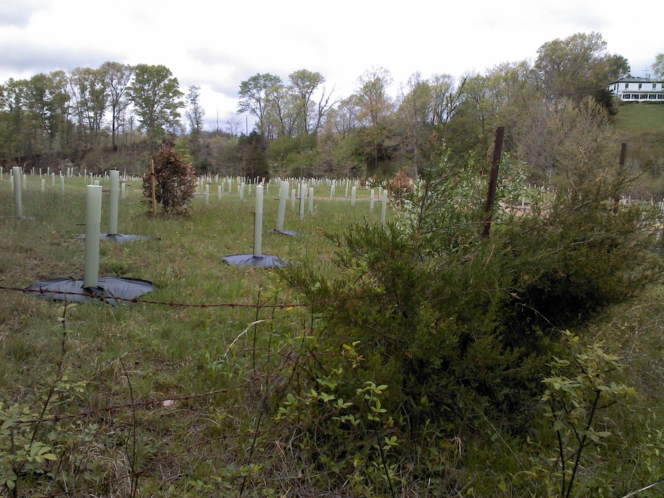
Trees at Buck Mountain
In 2012 Rivanna completed a stream restoration and tree planting at Buck Mountain as a part of the environmental mitigation needed for the expansion of the Ragged Mountain Reservoir. Over 40,500 trees and shrubs were planted in a 93 acre area and we completed a restoration project at Buck Mountain stream.
The Buck Mountain property was originally bought by Rivanna as a potential area to expand our reservoir capacity. However, an environmental study discovered the presence of the endangered species James Spiny Mussel and thus other avenues were sought out for our community water needs.
Franklin St Wetlands
As a part of the Franklin Street Wetlands mitigation project, 2,700 trees were planted on Franklin Street near Moores Creek.
Franklin Street Wetlands
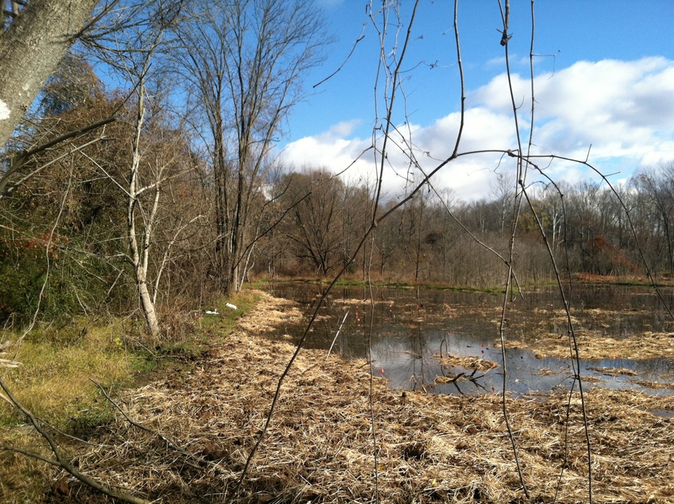
Franklin Street Wetlands
Franklin Street Wetlands was part of an environmental mitigation project stemming from the expansion of Ragged Mountain reservoir.
Rivanna created just over four and a half acres of new wetlands and enhanced two and a half acres of existing wetlands. We planted 2,700 trees and shrubs. Access to these wetlands are limited, for safety and security reasons, though we do offer site visits. Looking toward the future, we are actively looking for ways to enhance this educational opportunity.
For more information, please visit the Education Center page.